Secure virtual tours at scale
Simple software solutions to visualise videos, stills, 360° panoramas and much more on maps, plans and diagrams. Rapid project creation. Easy to share.
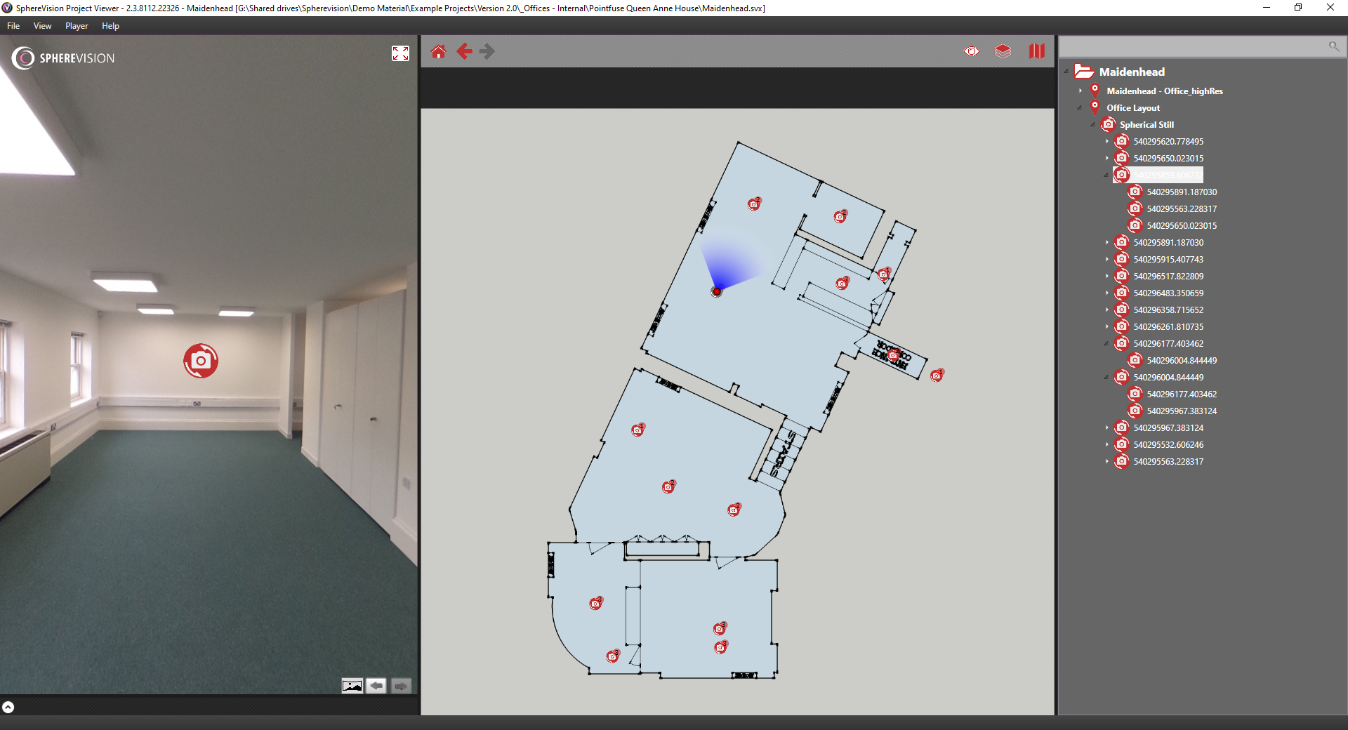
Visualise Sites Remotely - Fast
As if you were there. Collate media from sites to view entire locations combined with tags, static imagery, PDF data, videos, audio and much more.
Security and Privacy Control
With SphereVision, you can maintain strict control over the security and privacy of your mapped locations, ensuring that sensitive information remains confidential. Keep data on your own systems or share as required.
Drone, Vehicle and Portable Data
Add stills and video from many platforms. Easily drop data onto plans and maps - where data is geotagged (GoPro, DJI, EXIF plus many more) it is automatically located.
High-Quality Imagery
The software displays high-quality imagery and large video data rates ensuring that give users a clear and detailed view of the mapped area. The only limit is the viewing hardware.
Advanced Features
SphereVision offers advanced features such as GPS integration, hotspots for additional information, and the ability to embed multimedia elements like videos and images within the maps.
User-Friendly Interface
The user interface is intuitive, making it easy for creators to build and users to navigate the mapped environments.